Drone Surveying & Mapping Service

Drones in Surveying Services
Completed In Days Not Weeks
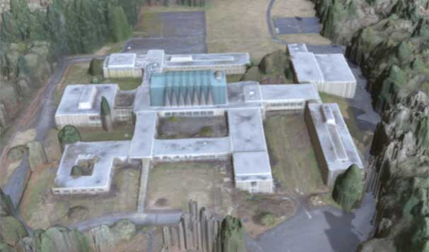
Drones help speed up and lower the cost of land surveying and mapping services with the ability to maintain a high level of precision and accuracy. From a single parcel to thousands of acres, we can provide imaging data to you or partner with your land surveyor, engineer or architect to augment their services to help lower costs and speed up service delivery. Our data can be used to produce a wide variety of work products including orthomosaic photos for detailed visual inspection of areas and topographic mapping.
We also can providing consulting services to help get your own internal drone program up in running. We provide assistance with hardware and software procurement, operational workflow, policies and procedures, and training.
Our imaging data can be used to produce maps and drawings with the most accurate absolute world coordinate positioning and/or relative measurements required for legal and/or engineering purposes. Note that because we are not registered land surveyors, when required, we partner with land surveyors, including your own, to create work products that can be verified for accuracy and certified to meet regulatory and other legal requirements in the land surveying and engineering professions by including their own data collection methods. Our survey grade imaging services help the land surveyor to complete topographic surveys for large areas in less time but they do not replace the need for a land surveyor to certify the accuracy of the end work products that they will produce for you.

Examples of Work Products Our Image Data Can Be Used For
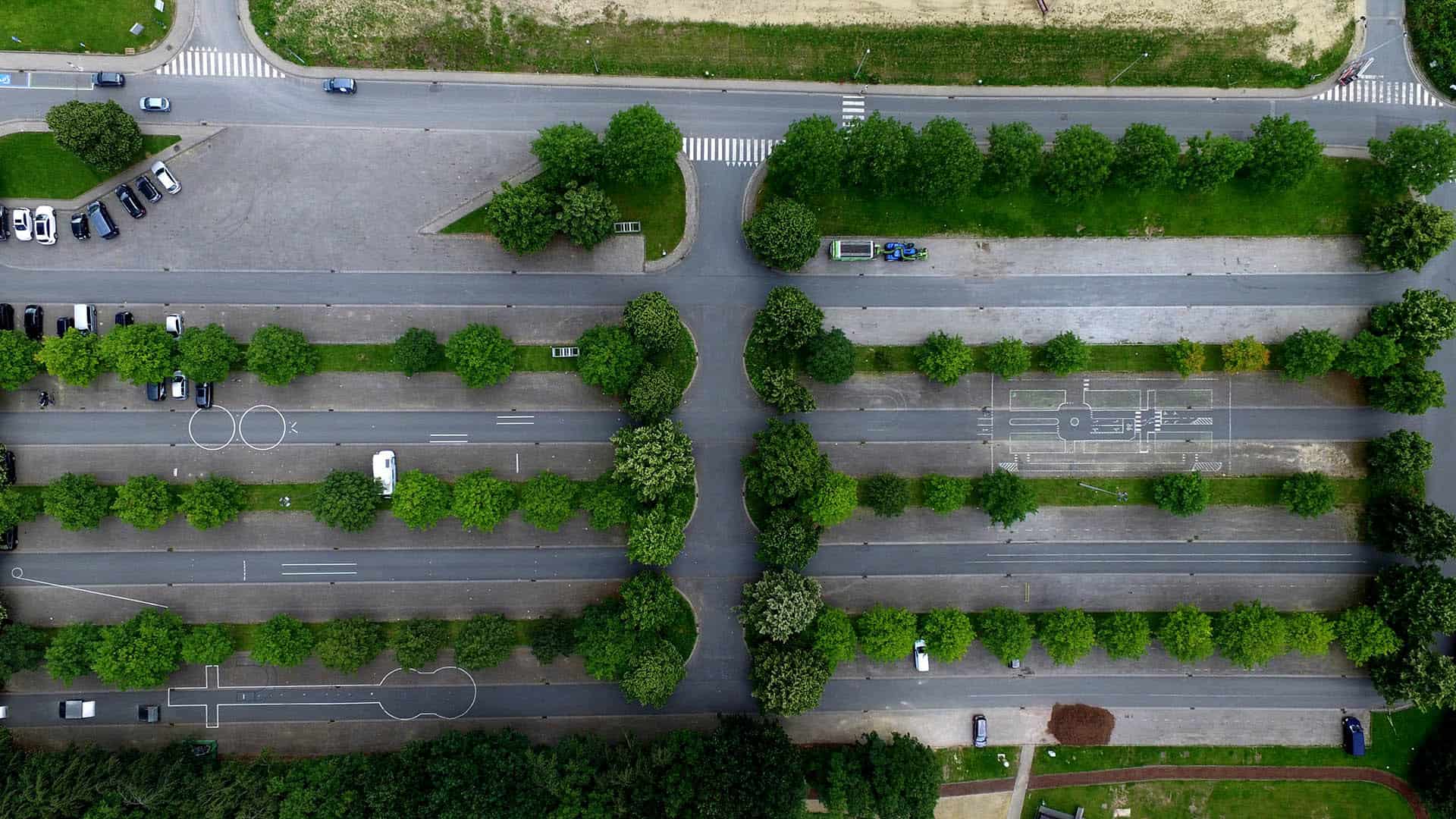
Orthomosaics
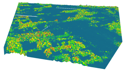
Topographic Surveys