Drone Surveying, Mapping & Construction

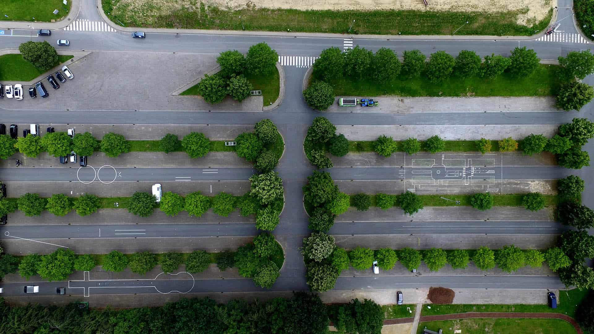
Drone provide increased efficiency to Construction Project planning and management including site surveying / topographics, mapping, and volumetrics. Over the years, the systems and tools used for surveying have become more efficient and reliable. With the arrival of drones, aerial surveying and mapping has never been this easy and sophisticated. Here are the benefits if using a drone for aerial surveying and mapping:
Increased Mapping Efficiency and Accuracy
Invest in drones for your next surveying project to increase efficient and accuracy which leads to faster return on investment. Property investors, sellers, real estate companies, buyers and other groups and individuals who are looking for efficiency and reliability in land surveys choose to deploy a drone.
Save Money and Time
Money and time savings from an all-in-one technology and speed process brought by the drone technology. In addition to capturing 3D images, a drone surveying technology uses advanced mathematics, cartographic sciences and statistical analysis to make the entire process fast and easy.
Surveying job sites and building maps are done quickly with the use of drones. Rather than the use of expensive surveying equipment, heavy machinery, and human resources, you can get the entire job done in less time and investment, with much greater accuracy.
Lower Manpower Needs
The drone technology allows more tasks to be done even just with smaller teams. Instead of deploying people to hard-to-reach areas and risky locations, drones can easily be deployed to perform the task instead.
Ease of Use
Drones feature a remote-powered action and are very easy to navigate. They will allow you to capture quality images and gather accurate information in a simple and convenient way.
Drone aerial surveying mapping has been very popular in the industry. Drones are very easy to use and can collect and transmit information in real time to a specific location. For this reason, they are now a mostly-preferred equipment for modern surveying and mapping.
